Precision in Every Measurement
- Phone: 086 172 8780 / 046 9043001
- Mon–Fri: 8:00 AM – 5:00 PM
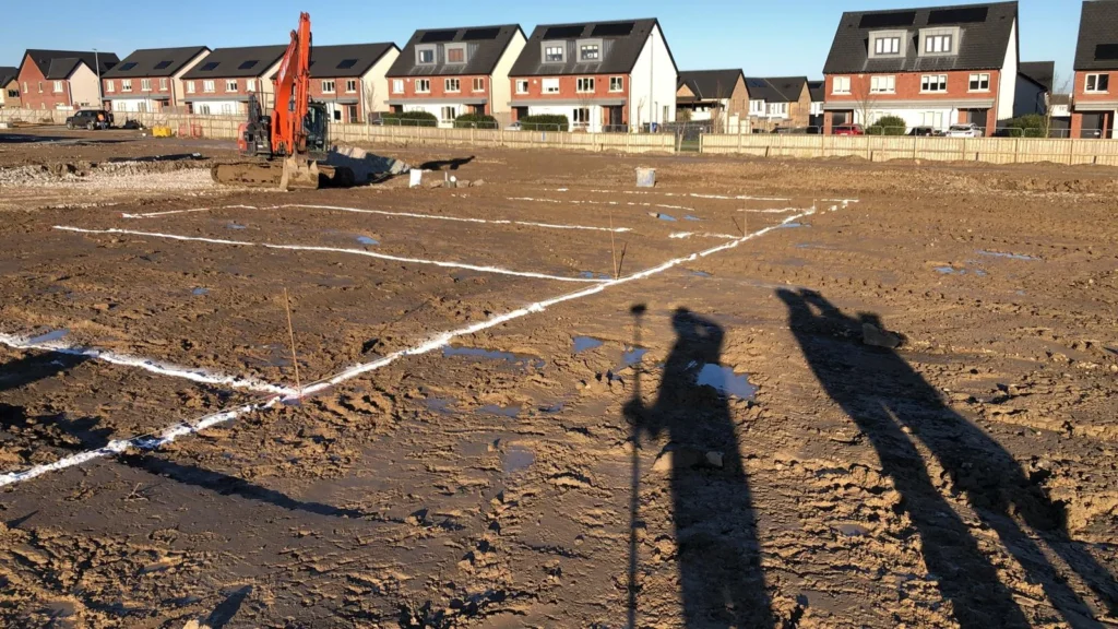
Our Site Control Network services establish accurate reference frameworks for construction, engineering, and surveying projects. We provide precise control points and coordinates that form the foundation for all survey and construction activities.
Establishing a reliable site control network is critical for accuracy and efficiency. Our approach provides precision reference points and consistent control across your entire site to support planning, design, and construction workflows.
We determine the optimal control network setup based on project requirements, terrain, and site access.
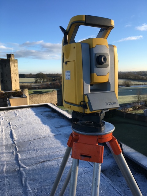
Using GPS, total stations, and advanced instrumentation, we establish fixed control points with high accuracy.
Control coordinates are validated, processed, and integrated into CAD and design workflows to ensure consistency across the project.
Survey control data is provided in required formats, with guidance for use in construction, design, and mapping applications.
Our Site Control Network services provide dependable support for projects of all sizes, ranging from small residential developments to large-scale infrastructure works. By establishing a consistent and highly accurate reference framework, we ensure that every survey and construction activity is precisely aligned. This robust control system minimizes errors, improves coordination among teams, and allows for seamless integration of design and construction data. With our expertise, clients can confidently rely on precise measurements and positioning, ensuring that each phase of the project progresses efficiently and according to plan.

Precision. Accuracy. Professionalism.
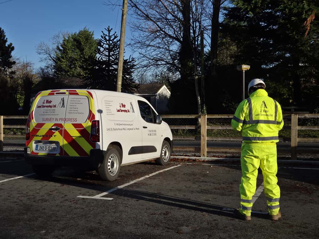
Providing land, engineering, and measured building surveys across Ireland.
Unit 10, Roche House Mall, Longwood, Co. Meath, Ireland.
See on Google Maps
086 172 8780 / 046 9043001
info@jweirlandsurveying.com