Precision in Every Measurement
- Phone: 086 172 8780 / 046 9043001
- Mon–Fri: 8:00 AM – 5:00 PM
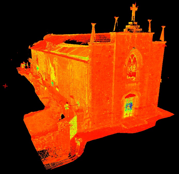
Our Laser Scanning services capture precise three-dimensional data of land, buildings, and infrastructure. This high-resolution, point-cloud data supports planning, design, construction, and renovation projects with unparalleled accuracy.
We assist architects, engineers, contractors, planners, and private clients by providing detailed and reliable scan data that forms a solid foundation for every stage of a project.
We discuss your project requirements and determine the most suitable laser scanning methodology.
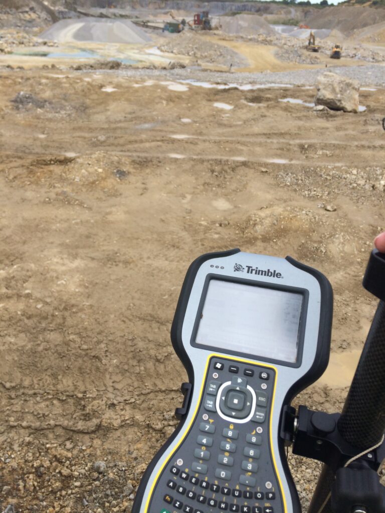
Our surveyors use advanced LiDAR and laser scanning systems to capture accurate 3D spatial data efficiently.
Point clouds are processed into detailed digital models, floor plans, sections, and elevations to industry standards.
Scan results are supplied in the required formats with guidance for practical use in planning, design, or construction.
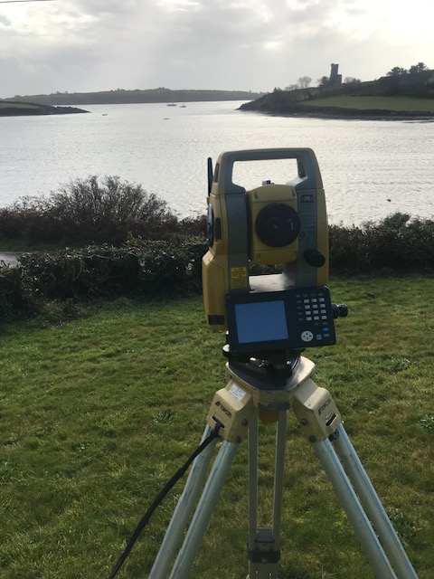
In addition to traditional and laser scanning surveys, we provide integrated surveying solutions that combine multiple data sources for a comprehensive view of your site. By merging topographic surveys, boundary measurements, and 3D scan data, we deliver highly accurate and contextualised information that supports every stage of your project. This integrated approach is particularly valuable for complex developments, infrastructure projects, heritage renovations, and large-scale civil engineering works, ensuring that architects, engineers, and planners have all the insights needed to make informed decisions with confidence.
Laser scanning is ideal for capturing complex structures, heritage buildings, internal layouts, and infrastructure projects. This technology is commonly used for as-built documentation, renovations, BIM coordination, and detailed architectural planning.

Precision. Accuracy. Professionalism.
Providing land, engineering, and measured building surveys across Ireland.
Unit 10, Roche House Mall, Longwood, Co. Meath, Ireland.
See on Google Maps
086 172 8780 / 046 9043001
info@jweirlandsurveying.com