Precision in Every Measurement
- Phone: 086 172 8780 / 046 9043001
- Mon–Fri: 8:00 AM – 5:00 PM
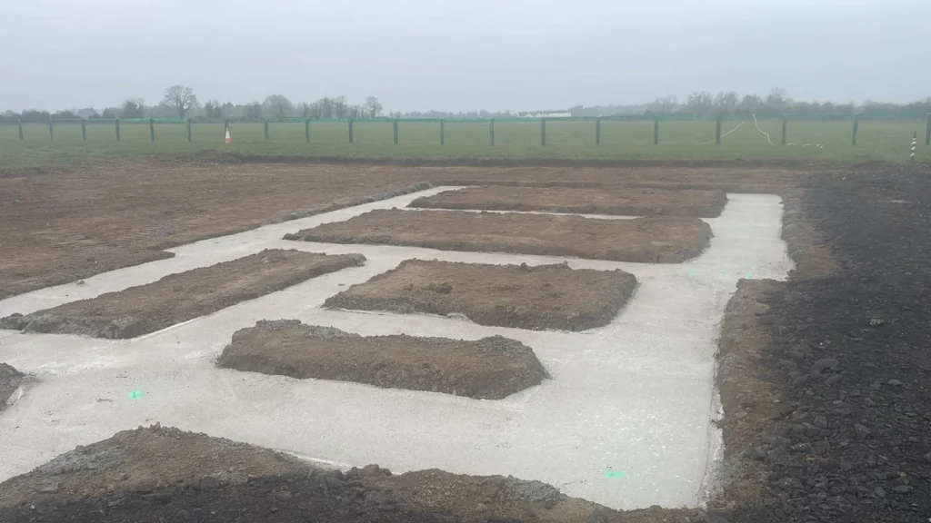
Our Setting Out & Levelling services ensure precise placement and alignment of construction works. We provide the spatial control required for buildings, roads, utilities, and civil engineering projects.
We support contractors, engineers, and developers with accurate measurements that reduce errors, improve efficiency, and ensure compliance with design specifications.
We assess your project and determine the correct setting out and levelling methods.
Using GPS, total stations, and laser levelling equipment, our team establishes accurate reference points and levels on-site.
Survey data is compiled into clear, actionable layout plans and control points for use during construction.
Survey markers and documentation are supplied in formats that integrate with your site workflows.

These services are invaluable for a wide range of construction and engineering applications, including foundation layouts, structural positioning, road and utility alignments, and the accurate placement of buildings and infrastructure. They also support interior fit-outs, extensions, and refurbishments, as well as large-scale civil engineering projects, ensuring compliance with design specifications. Additionally, our surveys assist with ongoing maintenance planning, site verification, and project documentation, providing contractors, engineers, and developers with the precise spatial data needed to reduce errors, improve efficiency, and maintain structural accuracy throughout every stage of construction.
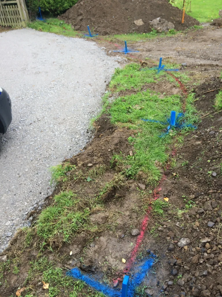
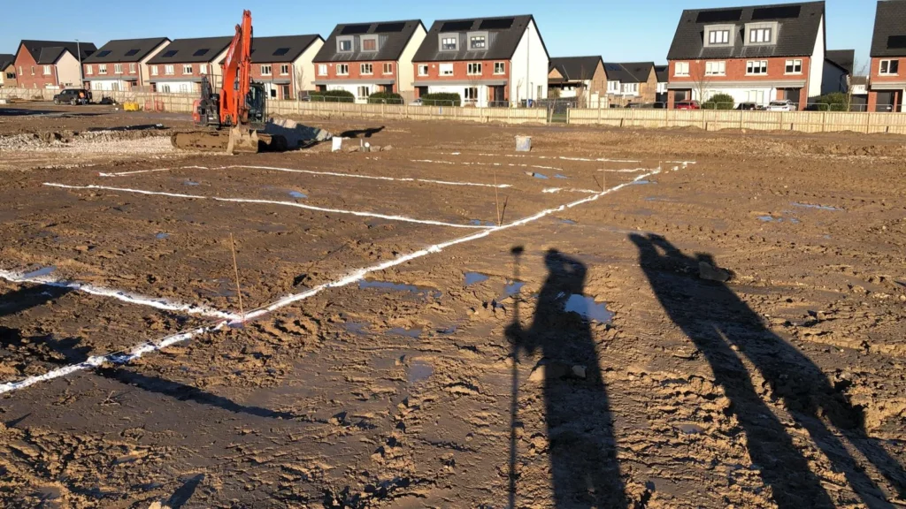
Commonly applied in residential, commercial, and infrastructure projects, our services help with foundation layouts, structural positioning, road alignments, and utility installation.
Key Services:

Precision. Accuracy. Professionalism.
Providing land, engineering, and measured building surveys across Ireland.
Unit 10, Roche House Mall, Longwood, Co. Meath, Ireland.
See on Google Maps
086 172 8780 / 046 9043001
info@jweirlandsurveying.com