Precision in Every Measurement
- Phone: 086 172 8780 / 046 9043001
- Mon–Fri: 8:00 AM – 5:00 PM
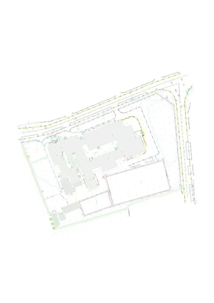
Our Land & Engineering Surveys provide the precise spatial, topographic, and structural information required for planning, design, development, and construction.
We support architects, engineers, contractors, planners, and private clients by delivering clear, reliable survey data that forms a solid foundation for every stage of a project.
We discuss your project requirements and determine the most suitable survey methodology.
Our surveyors collect precise site data using GPS, total stations, and laser scanning.
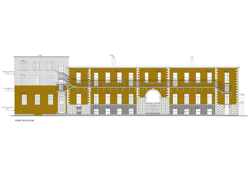
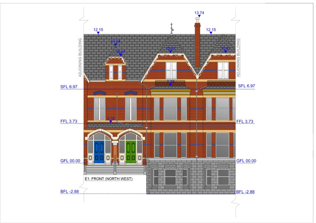
Detailed drawings, mapping, and digital models are produced to industry standards.
Survey results are supplied in your required formats with guidance as needed.
Whether you are preparing a planning application, designing infrastructure, laying out building works, or verifying existing built conditions, we supply accurate measurements and mapping that reflect real ground conditions and structures.
Our Land & Engineering Surveys are suitable for a wide range of project types. They are commonly used during the planning and delivery of residential and commercial developments, as well as civil engineering and infrastructure works. They support planning applications, zoning assessments, and land division requirements. These surveys are also valuable for agricultural land management, boundary clarification, and legal mapping. In addition, they provide essential data for renovation projects, structural redesigns, and for the planning of roads, drainage systems, and utilities.
Whether you are preparing a planning application, designing infrastructure, laying out building works, or verifying existing built conditions, we supply accurate measurements and mapping that reflect real ground conditions and structures.

Precision. Accuracy. Professionalism.
Providing land, engineering, and measured building surveys across Ireland.
Unit 10, Roche House Mall, Longwood, Co. Meath, Ireland.
See on Google Maps
086 172 8780 / 046 9043001
info@jweirlandsurveying.com