Extremely helpful and professional service. Alway with site visits. Excellent value
Thanks again.
0
%
We deliver precise land surveying and mapping services to help you plan, design, and build with confidence. Powered by modern technology and field-proven expertise.
Professional, Accurate & Delivered to Industry Standards.
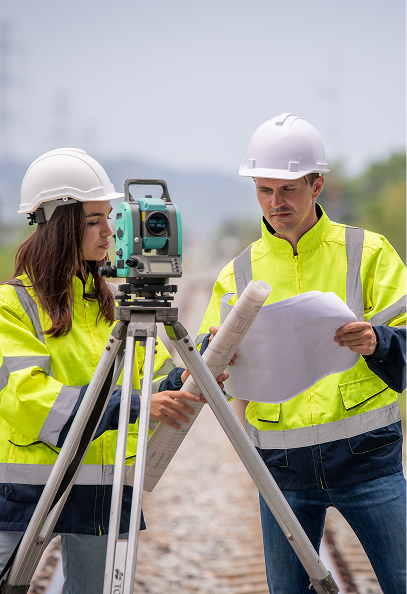
J Weir Land Surveying Ltd. provides expert land and building surveying services throughout Ireland. Based in Longwood, Co. Meath, we work closely with engineers, architects, developers, local authorities, legal advisors, and private clients.
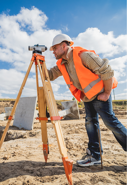
Our team combines extensive practical experience with advanced surveying technology to ensure each project receives data that is accurate, reliable, and aligned with regulatory standards. Whether for construction, planning applications, dispute resolution, or development design, we deliver surveying outputs that clients can depend on.
Call us anytime
Whether you are planning a new development, resolving a boundary issue, or requiring precise as-built documentation, our team is ready to assist. We provide clear, detailed, and dependable surveying outputs so you can move forward with confidence.
We understand that accurate survey data is the foundation of every successful project. Our team combines decades of hands-on expertise with advanced surveying technology to deliver results that are precise, clear, and practical for real-world application.
From large-scale commercial developments to residential boundary matters, we provide the level of detail and certainty that clients require to make informed decisions.
Over 20 years providing land and engineering surveys across Ireland, trusted by architects, developers, and private clients.
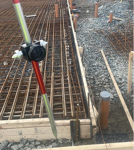
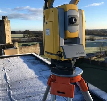
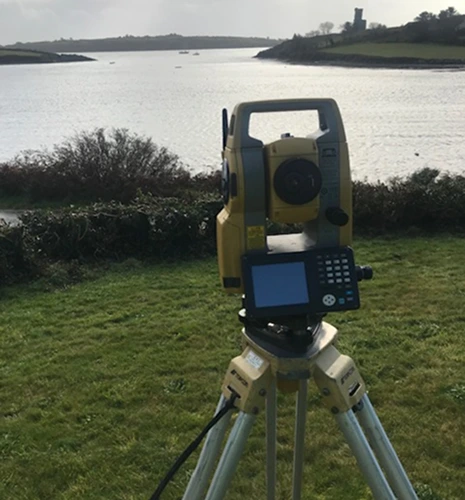
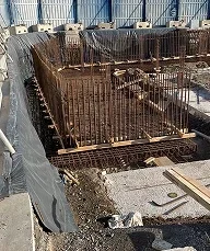
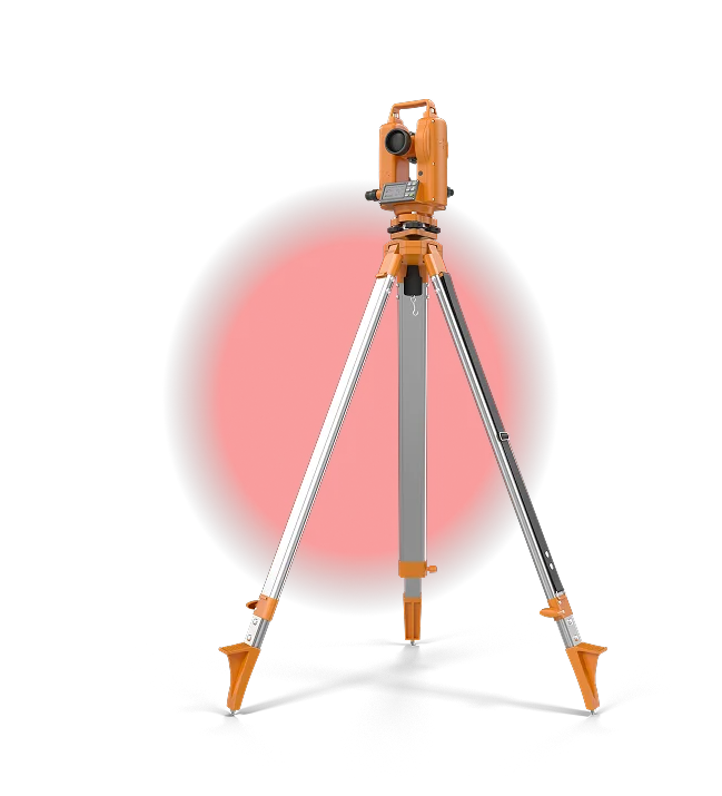
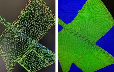
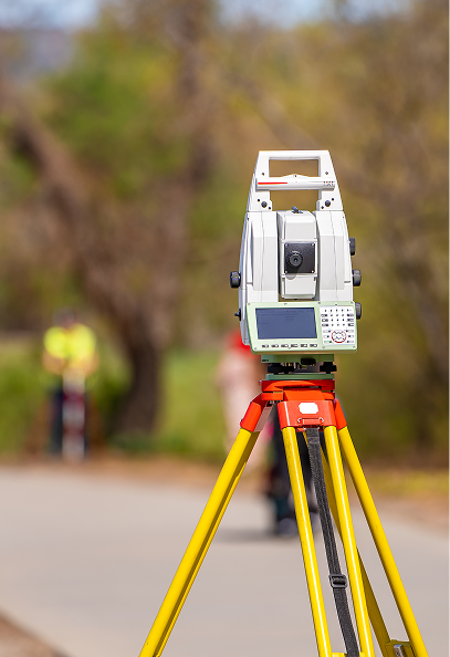
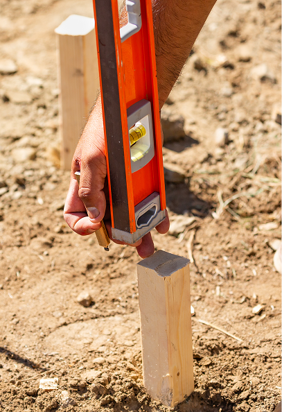
Utilising GPS, laser scanning, 3D modelling, and CAD workflows to produce accurate, reliable and high-resolution data.
We present data in formats that support planning, design, legal documentation, and on-site construction workflows.
Below are a selection of recent surveying projects that demonstrate our precision, reliability, and technical capability across a range of site types and client requirements.


Extremely helpful and professional service. Alway with site visits. Excellent value
Thanks again.
Extremely helpful and professional service. Always fast to respond and accommodating with site visits. Excellent value for money.
Thanks again.
Speak with our team about your upcoming project requirements. We’ll provide guidance, timelines, and a tailored survey plan to ensure you have the information you need to proceed with confidence.
Absolutely. Our Legal Mapping and Boundary services provide precise, defensible surveys to help resolve disputes and support legal or planning processes.
We typically require project plans, site access details, and any previous survey or design data to ensure accurate and efficient survey execution.

Precision. Accuracy. Professionalism.
Providing land, engineering, and measured building surveys across Ireland.
Unit 10, Roche House Mall, Longwood, Co. Meath, Ireland.
See on Google Maps
086 172 8780 / 046 9043001
info@jweirlandsurveying.com